STORY MAPPING

“A map is the greatest of all epic poems. Its lines and colors show the realization of great dreams.”

~ Gilbert Grosvenor, Founding Editor of National Geographic

The strongest feeling of man is his sense of identity and belonging. Story mapping is the visualization of that feeling: the placing of stories (myths, legends, folk tales) where they originated and are told. Genius loci (spirit of place) is the compound of landscape, nature and its human projections. Stories like Hamlet, Cinderella or Romeo and Juliet are universal models.

Stories shown on a map are more comprehensible, entertaining and educational; they reveal psychological and cultural relationships. Story mapping helps people to identify with a world that is not just literal and functional, but also allegoric and poetic.
VIDEO | STORY MAPPING

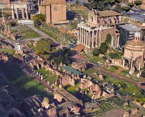
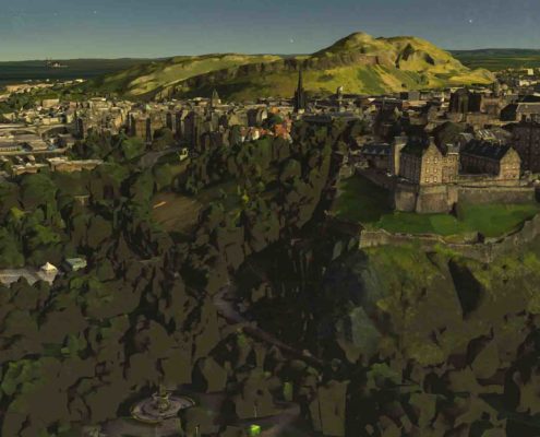
The three videos below illustrate our story mapping technique with Google Earth

STORY MAPPING TOOLS

We are developing a new mapping and video resource, combining our story bank with a number of story mapping tools, including: Google Earth & Voyager, National Geographic Story Mapping Interactive.  Arcgis Story Mapping Tool and Map.

Below you can find information and Links to these Platforms.

GOOGLE EARTH

CHROME

Take your students on a journey around the world with Google Earth Voyager Stories. Follow the paths of our World Explorers, discovering the places these famous adventurers recorded many years before.

Each stop on the voyage is contextualized with background information, including video clips and primary source …

GOOGLE EARTH

VOYAGER

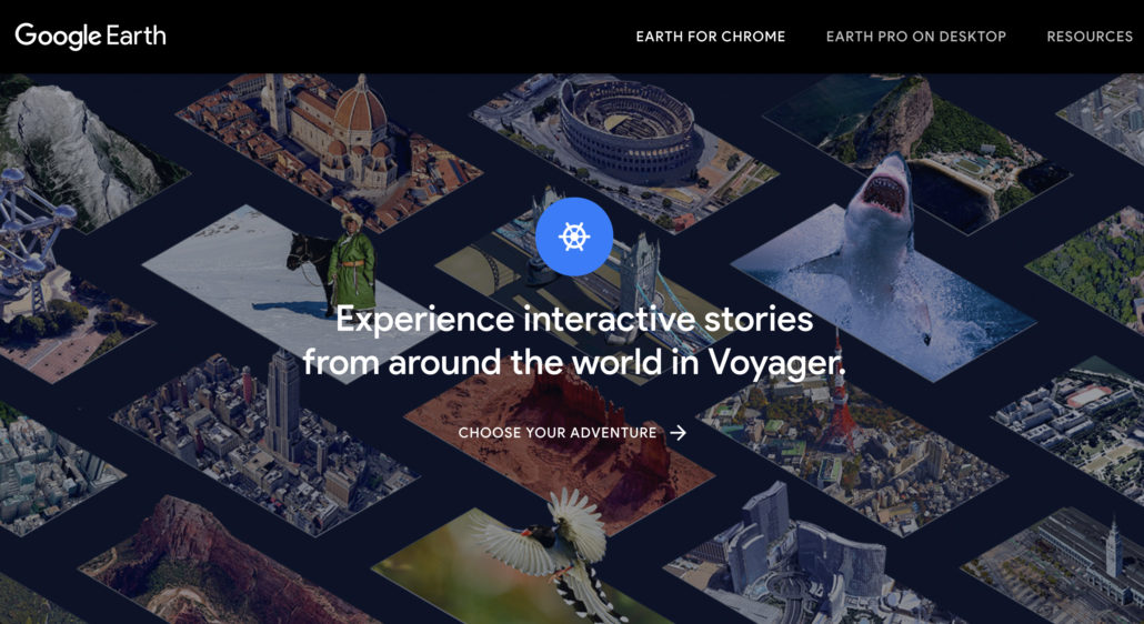
Google Earth’s new Voyager feature brings visualization and geospatial storytelling to the fore in the redesigned application.

Fly through landmarks and cities like London, Tokyo and Rome in stunning 3D, then dive in to experience them first hand with Street View.

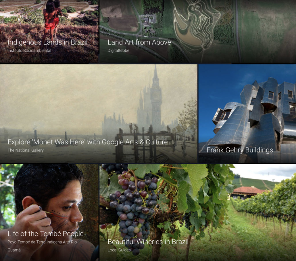
See the world from a new point of view with Voyager, which brings you one-of-a-kind stories and associated classroom activities from partners like National Geographic, PBS, and more.

GOOGLE EARTH

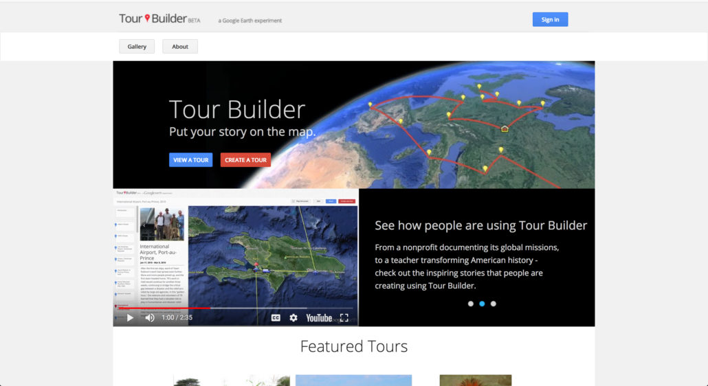
TOUR BUILDER

Take your students on a journey around the world with Google Earth Voyager Stories. Follow the paths of our World Explorers, discovering the places these famous adventurers recorded many years before.

Each stop on the voyage is contextualized with background information, including video clips and primary source …

PROJECT ZERO

Founded by philosopher Nelson Goodman at the Harvard Graduate School of Education in 1967, Project Zero began with a focus on understanding learning in and through the arts. Over the years, we have continued our inquiry into the arts and arts education, while drawing together diverse disciplinary perspectives to examine fundamental questions of human expression and development. Our research endeavors are marked by a passion for the big questions, a passion for the conceptual, a passion for the interdisciplinary, a passion for the full range of human development, and a passion for the arts.

Today Project Zero is an intellectual wellspring, nourishing inquiry into the complexity of human potentials – intelligence, understanding, thinking, creativity, cross-disciplinary and cross-cultural thinking, ethics – and exploring sustainable ways to support them across multiple and diverse contexts. Anchored in the arts and humanities, and with a commitment to melding theory and practice, we continue to work towards a more enlightened educational process and system that prepares learners well for the world that they will live, work and develop in.

OUT OF EDEN LEARN

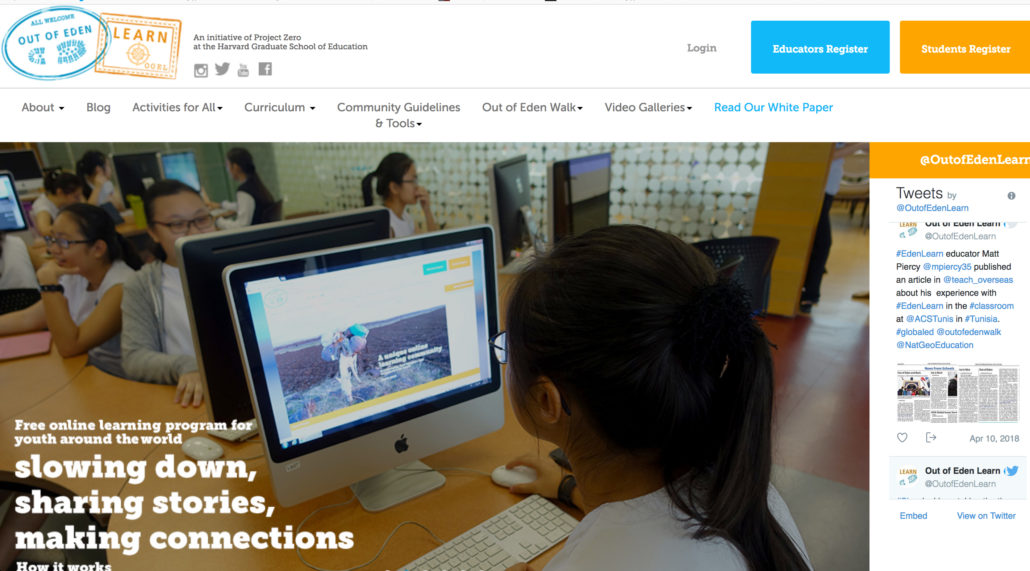
A National Geographic Project in Collaboration with Project Zero

NATIONAL GEOGRAPHIC

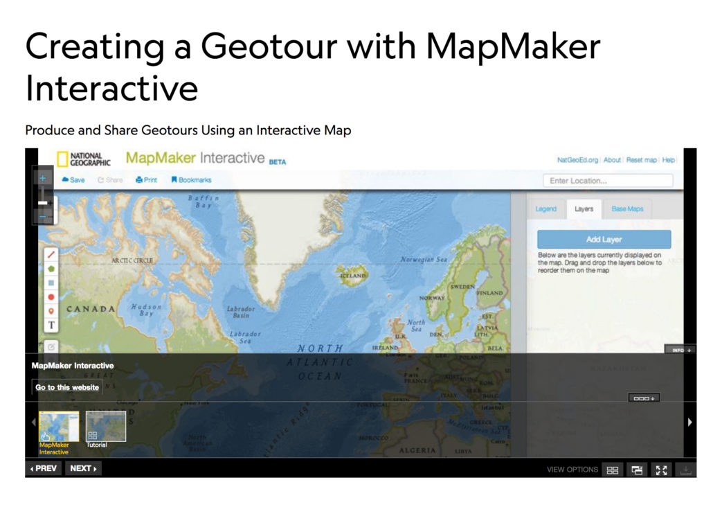
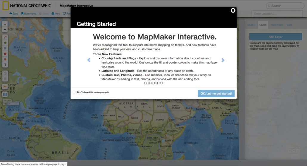
MapMaker Interactive

A new feature on the MapMaker Interactive gives you the ability to create your own set of bookmarks, or a geotour, that you can save and share with the world.

Creating, sharing, and collaborating on geotours can be an engaging project for students across a range of subject and grades. To create a geotour, follow the steps below and enjoy the fun of constructing map-based stories, journals, and presentations.

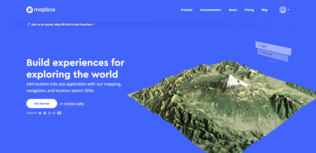
MAP BOX STUDIO

Bring location-based experiences to life.

See how our customers use Mapbox
to help their users explore the world.

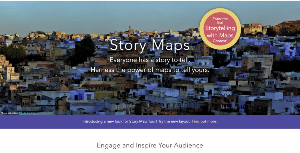
ARGIS STORY MAPPING

& Community Building Tools

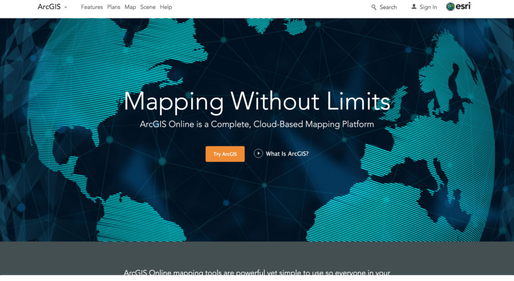
Try ArcGIS

Apps for Everyone 

ArcGIS apps make you more effective and efficient, no matter your goal. They’re designed to guide you through specific tasks and get work done with the greatest ease and maximum benefit. They’re spatially intelligent. They come ready to work for you, with little to no configuration required, with or without an Internet connection.

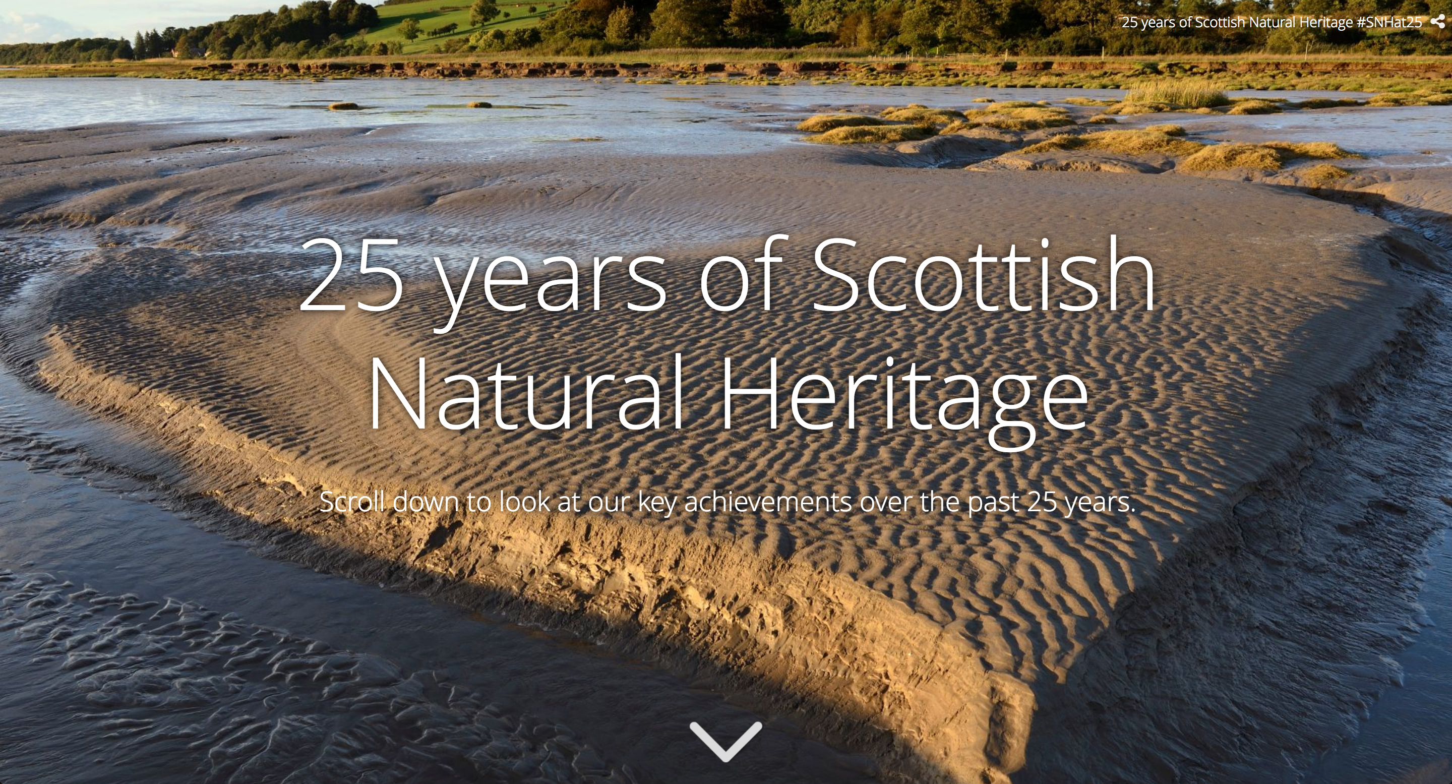
< 25 Years of "Scottish Natural Herritage" is a sample story telling tool/map.

What is ArcGIS?

ArcGIS applies The Science of Where.

To connect everyone, everywhere through a common visual language.

It combines mapping and analytics to reveal deeper insight into data.

Watch how we do it through The Science of Where